
Walk a Port Huron Street by Address
Use an exact house number and street name first. The county property search can connect that address to a parcel, while the county GIS shows the parcel in its block setting. The City of Port Huron and St. Clair County maintain separate systems, so a municipal assessing or building record can add context without replacing the county parcel record. A recorded deed then tests the ownership trail. Dated directories help distinguish an owner from a household that was merely listed at the address.
- Search the county property page by one address criterion set and save the parcel number with the exact search wording.
- Open that parcel in the county GIS, retain the map-layer date, and click nearby parcels only when their boundaries help explain a lot split or street pattern.
- Check City BS&A separately for its municipal assessing, tax, property-sale, or building-record context.
- Use the Register of Deeds portal for the recorded-instrument trail, then move to the historical index books when the online record era ends.
- For an older household question, compare a directory street section with its alphabetical section. Michigan voter tools are controlled individual or geography-specific records, not a street roster.
Each step answers a different question. Parcel and deed records may identify an owner or instrument party, while a directory can show that someone was listed at an address in a particular publication year. Neither should be treated as proof that every person at an address lives there now.
Search the Port Huron Street Directory Parcel Fields
The St. Clair County property and map page supplies the narrowest first search. It supports partial owner-name prefixes, but address searching is usually cleaner when a street is the only known fact. The county asks searchers to use one criterion set at a time. For an owner name, enter the last name followed by a space before the first name. For a street name, omit a road type or directional when the form treats those parts as abbreviated or omitted.
| County field | Use it for | Format caution |
|---|---|---|
| Owner Name | Testing a known owner or surname family | Use last name, then a space before the first name; partial prefixes are supported. |
| Street Number | The physical number of the address | Use it as the active criterion only when that is the useful narrow search. |
| Street Name | Finding a parcel on a named street | Use one search criterion at a time; leave off road type and directionals when commonly omitted. |
| Parcel Number | Returning to the same property after an address changes | Keep dashes. The page shows forms such as 74-20-006 and the newer 74-XX-XXXX-XXX pattern. |
Do not promise a standard result-card layout. The official static material identifies these search inputs, not every field a live result will display. Save the parcel number, source URL, search date, and an image of any field that is actually visible.
Map a Port Huron Street Address Result
The St. Clair County GIS separates its original Parcel Search from the Parcel Viewer. Parcel Search accepts one of a name, street name, street number, or parcel ID. The Geocortex Parcel Viewer search bar accepts a parcel ID or street name. That one-parameter rule matters: begin with the cleanest known value, then use the map rather than adding guesses to the query.
The county’s GIS instructions show a Parcel Viewer with layers, a layer catalog, print, export, share, markup, measure, and other map tools. A left click can expose more neighbor tax-parcel information, and a right click offers expanded options. The useful address task is modest: view the target polygon, note the active layer and its date, then inspect adjacent parcels only to understand a boundary or a possible historic subdivision.
The county GIS instructions show the Parcel Search and Parcel Viewer paths used for this Port Huron address method.
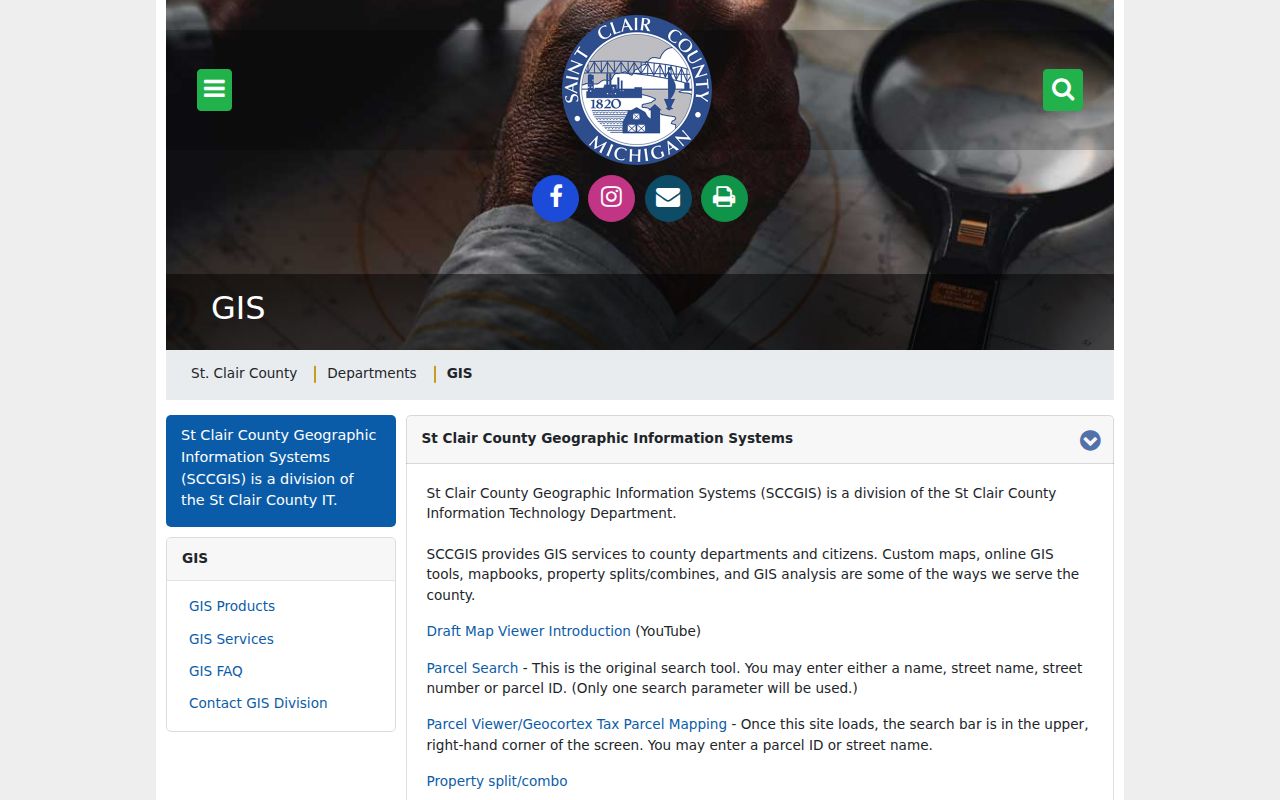
Use the viewer as a map and boundary cross-check. Preserve its active layer and access date because it is not a historical snapshot.
Port Huron Address Record Coverage
Address-keyed sources overlap, but they do not merge into one official household list. The table below keeps the custodian, purpose, and access limit visible. It also helps prevent a map label, tax value, or recorded name from being stretched beyond what that record can establish.
| Address record | Custodian | Best use | Access and limit |
|---|---|---|---|
| Property / parcel search | St. Clair County Equalization | Address-to-parcel and owner-name discovery | County page; result fields must be confirmed live. |
| GIS parcel map | St. Clair County GIS | Parcel shape, labels, and adjacent-boundary context | Viewer and dynamic layers; retain layer date. |
| Municipal property record | City of Port Huron BS&A | Assessing, tax, sale, and building-record context | Separate city reference system, not a county replacement. |
| Land instrument | St. Clair County Register of Deeds | Deeds, mortgages, plats, liens, and recorded parties | Online viewing begins in 1984; certification comes from the office. |
| Historic directory | St. Clair County Library Michigan Room | Dated household and street-listing context | Publication evidence, not proof of title or current residence. |
The parcel number is the strongest practical crosswalk between the county search, GIS geometry, city record, and deed chain. A street name can change, and a parcel can be split or combined, which is why every handoff should retain both the legal description and the date of the source.
Build a Port Huron Street Address Crosswalk
Port Huron addresses sit among several different geographies. A delivery ZIP, city limit, parcel polygon, ward, school boundary, and neighborhood boundary are separate layers. A mailing line that says Port Huron does not alone establish that a parcel lies in the incorporated city. For a boundary-sensitive question, compare a USPS ZIP result, the county parcel polygon, the city street map, and the Census boundary before drawing a jurisdiction conclusion.
| Current address | Write the house number, street name, directional, and road type exactly as the current source displays them. |
|---|---|
| Historic address wording | Keep the printed directory or deed wording beside the normalized version rather than overwriting it. |
| Parcel number | Use the county-formatted identifier, including dashes, as the property crosswalk. |
| Legal description | Copy the lot, block, plat, or other recorded wording that ties the land across changing labels. |
| Map source and date | Record the GIS layer, access date, and any observed split or combination clue. |
Note: Keep delivery geography and legal jurisdiction in separate fields so a postal label does not become an unsupported city-limit claim.
Use the Port Huron Address Records Deed Trail
The Aumentum Recorder Public External Search is the online doorway for St. Clair County land records from 1984 to the present. Its visible navigation includes Party List and Search Land Records, with Login, My Account, Shopping Basket, and FAQ controls. The county describes a $150 annual web account and view or print copies at $1 per page. The convenience portal does not certify authenticity, and images may be unavailable during backups.
Start with the newest instrument found for the parcel, note the grantor, grantee, recording information, and legal-description clue visible on the document, then work backward. The official static capture did not establish exact live field labels, image gates, or pagination. Treat a portal result as a lead, and ask the Register of Deeds for a certified copy when certification matters.
The St. Clair County recorder portal provides the online land-record starting point for this Port Huron address trail.
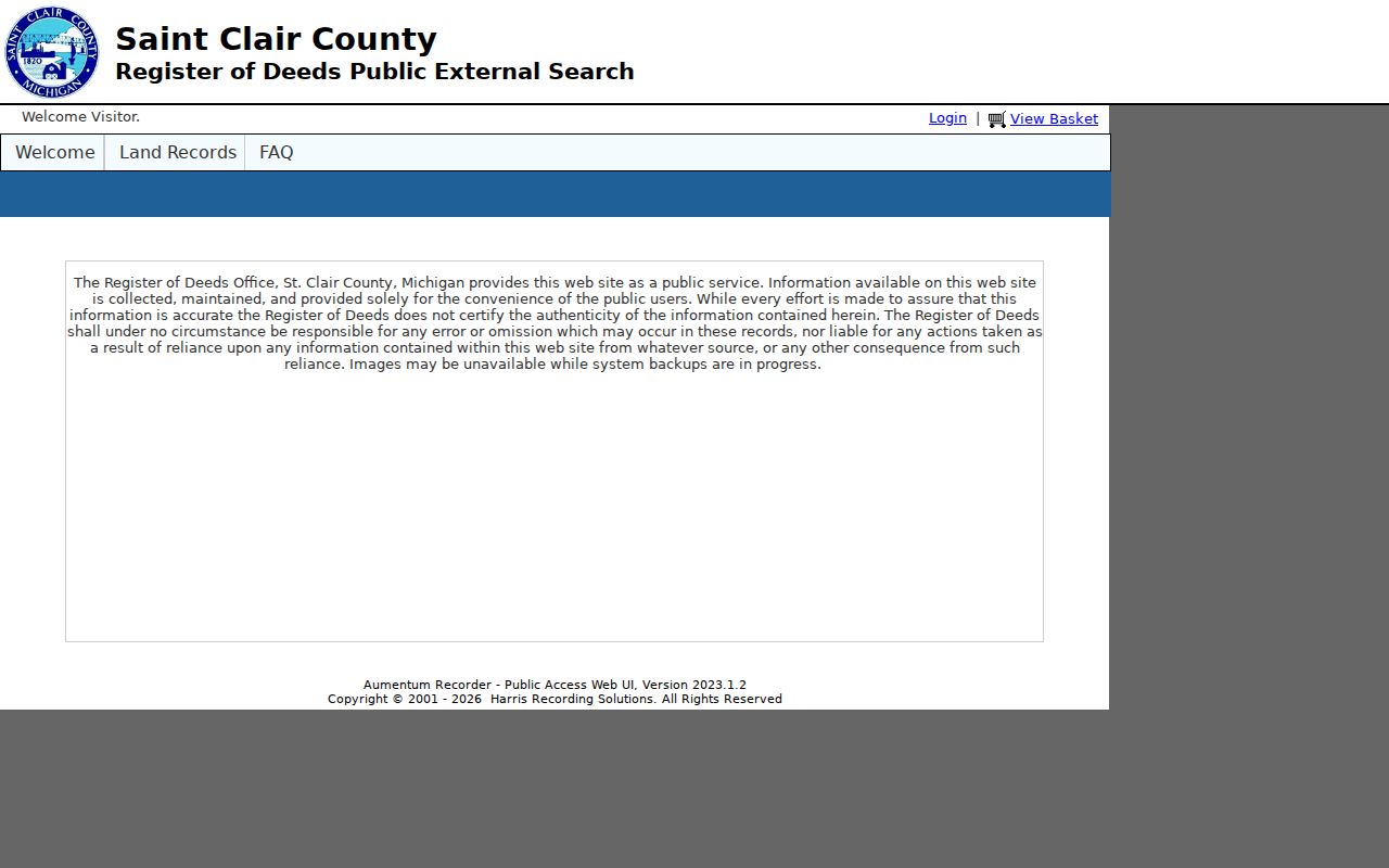
Recorded land documents identify a transaction or instrument party. They do not by themselves prove a present household at the street address.
Bridge Port Huron Address Record Gaps
The county’s free Register of Deeds Index Books provide the important transition between online deed coverage and older research. Grantee books 46 through 53 run from February 1972 through May 1984. Grantor books 46 through 53 run from February 1972 through April 1984. Mortgage books 23 through 27 run from February 1972 through May 1984. Read each PDF’s own volume label because the endpoints vary.
Search the printed surname and given-name conventions in the relevant grantor or grantee volume, preserve the book and page, and compare the legal-description clue to the current parcel. A complete public pre-1972 county grantor/grantee index was not located online. For that earlier gap, ask the Register of Deeds about counter indexes, microfilm, or archived volumes, then use the Archives of Michigan guide as an additional lead.
The county Index Books page is the documented 1972 to 1984 bridge when the online Port Huron address deed trail stops.

The books are an index route, not a substitute for reading the underlying instrument or confirming an older record at the appropriate custodian.
Keep Port Huron Street Record Systems Separate
The City of Port Huron BS&A portal is a municipal system, not another view of the county search. Its services include All Record Search, Assessing Search, Building Department Search, Current Tax Search, Delinquent Personal Property Search, Property Sale Search, and Utility Billing Search. Its global routes include address, name, parcel number, building-department record number, and several account identifiers. No ZIP field was located in the reviewed interface.
Use BS&A for city assessing or building-history context, then return to county Equalization for the county parcel search and GIS for geometry. The portal describes itself as reference information and directs corrections to the municipality. That division is useful when an address-record search encounters a city permit clue but needs the county parcel or recorded deed to verify continuity.
Request Port Huron Street Records Precisely
Michigan FOIA, MCL 15.231 onward, is a route for existing nonexempt city records, not a request for an office to build a resident list. Send a written request to the appropriate FOIA coordinator, name the office, provide a focused description and date range, and ask for electronic delivery when that format is useful. The statute generally allows five business days for a response and one extension of up to ten business days. Email or fax is deemed received one business day after transmission under the statute.
The Port Huron FOIA form separates Police and Clerk contacts and offers email, pickup, fax, or USPS delivery plus paper, digital device, electronic-copy, and inspection-first choices. It states no fee through $3; an anticipated cost above $50 may require an estimate and a deposit up to 50 percent. Ask for the segregable nonexempt portion when redaction is likely. Protected addresses, personal identifiers, vital records, voter data, juvenile material, and other exempt records remain outside this method.
Follow Port Huron Street Legal Descriptions
A legal description is the deed’s land identifier, often expressed through a lot, block, plat, parcel, or metes-and-bounds description. It carries more weight than an address when a street is realigned or a property is divided. Compare the deed wording against the GIS polygon and the parcel number. If an older instrument uses a different street label, the legal description and any lot or plat clue provide the continuity test.
Port Huron’s river and bridge geography makes that care practical. Downtown and river-adjacent research can require the city street map, the historic directory, the county parcel layer, and the deed description together. Record what the source says, not a reconstructed modern address that the evidence does not support.
Read Port Huron Street Record Name Changes
A 2010 Port Huron council record documents bridge-area realignment involving State, Gratiot, and Elmwood near the Blue Water Bridges. It also records a Conger Avenue to Wright Street rename for a described segment between specified lots. That is a localized continuity issue, not evidence of a citywide renumbering or a blanket street-name change.
When an address seems to move, keep the old wording, the current normalized name, parcel number, legal description, source date, and map layer together. Search historical directories and deeds under the old label, then test the modern parcel under the current label. A road realignment, not a household move, may explain the difference.
Port Huron Address Record Terms
These four terms help keep property evidence separate from a household listing.
- Parcel
- A county-defined piece of land used for assessment and mapping. Its number is a practical crosswalk, although it can change after a split or combination.
- Situs address
- The physical location used to identify property. It can differ from a mailing address and may not match historic street wording.
- Plat
- A recorded map that lays out lots, blocks, streets, or subdivisions. A plat clue can connect an older legal description to a parcel.
- Criss-cross directory
- A reverse directory arranged by street or address rather than solely by surname. It is dated listing evidence, not a title record.
Port Huron Street Directory Limits
A street-address search cannot reveal a complete, current household. County property records can show parcel and ownership context, and recorded documents can identify instrument parties, but neither establishes every occupant. Directory entries are dated and may reflect a resident, a business occupant, a household member, a caretaker, or carryover information. A protected address or excluded record should not be pursued through a broader request.
Lawful personal use. Use Port Huron address records for family history, estate research, property curiosity, or a specific civic records question. Do not use them to stalk, harass, intimidate, or harm anyone.
For a dated household trail, the Port Huron Directory Book has the historical directory context that complements an address-led record search.