
Port Huron Previous Residents by Era
Choose the source by the period that needs filling. Recorded deeds establish a land trail, directories place a printed household at an address, and maps or news can explain what happened between those dates. The records below are complementary. A directory listing can support “listed at,” while a deed may support “recorded as grantor or grantee,” but neither label should be silently converted into the other.
| Source | Years it covers | Where held | What it can show |
|---|---|---|---|
| Recorder web land records | 1984 to present | St. Clair County Register of Deeds portal | Recorded deeds and other land instruments. |
| Grantor / grantee index books | 1972 to 1984, with volume-specific endpoints | County Index Books PDFs | Historical index path to an earlier instrument. |
| Port Huron directory PDFs | 1871 through 1960–61 in uneven yearly blocks | St. Clair County Library | Dated address, household, and street-order evidence. |
| Sanborn maps | 1887, 1892, 1898, 1903, 1911, and 1929 | Local-history research leads | Historic building footprint, use, and street label. |
| Newspaper, obituary, and cemetery leads | Ranges vary by collection | Michigan Room and its research resources | Events, family context, and local chronology. |
Note: Retain a source date and exact page or image for every transition in a previous-residents timeline.
Reverse the Port Huron Address History Deed Chain
Begin at the current parcel, not with a presumed old name. The current county property or municipal record can provide the parcel crosswalk. Locate the newest recorded deed or instrument, read its grantor, grantee, and legal-description clues, then use the seller’s earlier acquisition to move backward. The point is to test each land transition against the same land description, especially where a lot has been split, combined, or described under an earlier street label.
- Normalize the present address and save the parcel number from the county property search or GIS.
- Obtain the most recent recorded instrument and copy its recording detail and legal description.
- Identify the seller named in that instrument, then search for the seller’s earlier purchase as a grantee.
- Repeat the backward search, recording every book, page, document clue, source date, and change in the land description.
- When the web coverage ends, move to the 1972–84 index books. For earlier material, ask about counter indexes, microfilm, or archive holdings.
Recorded ownership and past households are related but different questions. A deed may name a party with an interest in the land, while the people who lived there at a given time are better tested with a dated directory, census, obituary, or newspaper record.
Use Port Huron Address History Online Deeds
The St. Clair County Aumentum Recorder Public External Search states that online land records are viewable from 1984 to the present. Visible controls include Party List, Search Land Records, Login, My Account, Shopping Basket, and FAQ. The county describes a $150 annual web account and view or print copies at $1 per page. Its public disclaimer says the portal is a convenience service, does not certify authenticity, and can have image outages during backups.
The reviewed source did not establish exact live search fields, image login rules, or pagination. Record only the controls and document details actually visible when researching. Certified copies and questions about an instrument belong with the Register of Deeds, at 200 Grand River Avenue, Suite 103 in Port Huron.
The Register of Deeds office page is the custodian reference for the land instruments that begin a previous-residents deed trail.

The online record is a useful lead, but the office is the proper contact when authenticity, an unavailable image, or an older record requires follow-up.
Bridge Port Huron Past Households with Index Books
The free county Index Books close the transition between the web-era deed trail and older records. Grantee books 46 through 53 cover February 1972 through May 1984; grantor books 46 through 53 cover February 1972 through April 1984; mortgage books 23 through 27 cover February 1972 through May 1984. Volume labels matter because a single “1972–84” date does not describe every book exactly.
Use the surname, given-name, book, and page conventions displayed in the scans. A public online pre-1972 county grantor/grantee index was not located in the reviewed source set. That absence is a reason to use the counter and historical repositories, not a reason to infer that no earlier deed exists.
Keep Port Huron Addresses Tied to Land
The legal description is the continuity anchor for a house-history chain. A street address can be realigned, renamed, or entered differently in an older document. A lot, block, plat, or other recorded description can show whether two records actually refer to the same land. Compare it with the parcel number and GIS geometry, and preserve a note when a subdivision or parcel split changes the description.
A practical Port Huron house-history ladder moves from the current parcel and map to recent and earlier deeds, the 1972–84 index books, directories at five- or ten-year intervals, Sanborn and plat maps, newspapers or obituaries, tax or assessment material, then probate, court, naturalization, and archival series. Mark oral or local-history leads as unverified until they connect to a dated source.
- Grantor
- The person or party transferring an interest in a recorded instrument.
- Grantee
- The person or party receiving that interest. In a reverse chain, the earlier seller’s acquisition is often found by searching that seller as grantee.
- Chain of title
- A documented sequence of recorded land transfers, checked one instrument at a time rather than assumed from a street address.
- Legal description
- The recorded land wording, such as lot, block, plat, or parcel description, that provides continuity when a street label changes.
- Criss-cross directory
- A reverse directory arranged by street or address. It can place a household in a dated publication but does not establish title.
Read Port Huron Past Households in Directories
The St. Clair County Library’s online run includes Port Huron directories from 1871, 1873, 1877–78, 1881, 1883, 1885, 1887–88, 1890–94, and later uneven blocks through 1960–61. Search both the alphabetical department and the street or road section. The street section can recover a household when a surname has been misread by OCR or printed with an unexpected spelling.
The 1950–51 volume covers Port Huron, Marysville, and the Black River District. Its front matter identifies a Street and Road Directory alongside an alphabetical department. It lists a married man with the wife’s given name in parentheses and uses telephone symbols and rural-delivery context. Preserve the publication year, page, section, printed spelling, address, and whether the entry was street-listed or alphabetical. The Port Huron Directory Book gives the collection-level context for these volumes.
Pair Port Huron Address History with Census
Use a directory as an address-year checkpoint, then test the household with a census or other dated local source. The Archives of Michigan St. Clair guide identifies state census schedules for 1884 and 1894, among other county historical series. A directory and census may not agree exactly because they are compiled at different times, so record the date of each rather than forcing an apparent mismatch into a single move date.
- Select a directory year near the deed or address change and record its street and alphabetical observations separately.
- Check the relevant census, beginning with the state census years or another archival series that fits the period.
- Compare names, household clues, street wording, ward or precinct context, and any address variation without treating a name match alone as proof.
- Return to the deed chain and legal description when a move, lot split, or changed street label needs confirmation.
Find Port Huron Past Households in Maps and News
The Olde Town Port Huron research guide points to directories, newspapers, cemetery and civil indexes, biographies, federal and state census material, and Sanborn maps. It identifies local Sanborn years of 1887, 1892, 1898, 1903, 1911, and 1929. A Sanborn page can show a building footprint, material, use, outbuilding, lot boundary, or older street name. It is a historical description, not a current code judgment.
The Olde Town research guide gathers useful Port Huron house-history leads, while remaining a community preservation source rather than the custodian of a certified record.
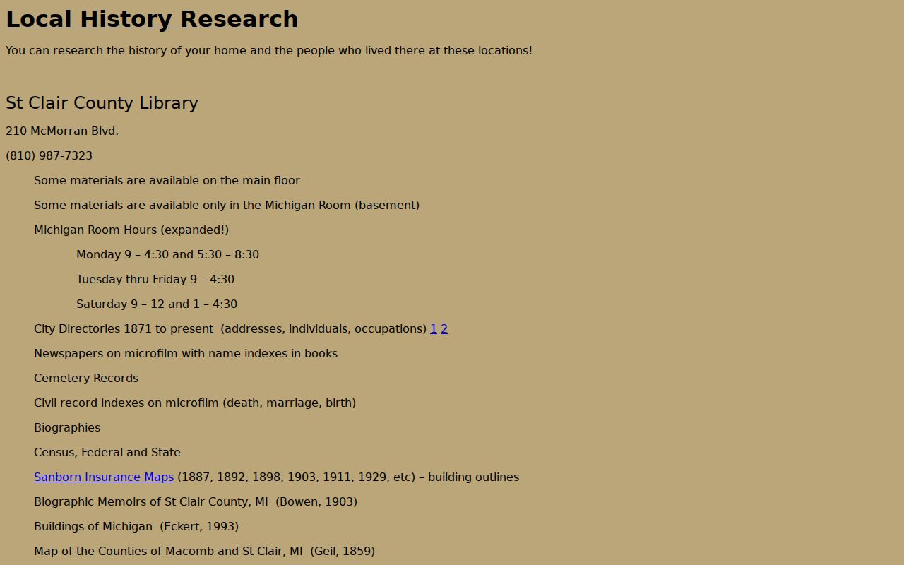
The Michigan Room adds newspaper indexes through 1939, Michigan Historic Newspapers coverage from 1910 forward, obituary clippings, and Lakeside Cemetery burial permits from 1935 through 1989. Verify each OCR or clipping lead against the original page or collection record.
Visit the Port Huron House-History Desk
The St. Clair County Library Michigan Room is in the Main Library’s lower level at 210 McMorran Boulevard. Its current posted hours are Monday through Friday, 9:00 to 12:00 and 2:00 to 5:00. Material is non-circulating and staff assistance is available. Call 810-987-7323 before travel or email michiganroom@sccl.lib.mi.us, especially when a street, name, and date range could help staff identify material in advance.
Do not substitute older community-guide hours for the current Library page. The county Clerk’s genealogy room has a separate appointment-only notice, so it should not be assumed to have the same access terms as the Michigan Room.
Check Port Huron Address History Bridge Streets
A 2010 Port Huron council record documents bridge-area realignment around the Blue Water Bridges involving State, Gratiot, and Elmwood. It also identifies a Conger Avenue to Wright Street rename for a specified segment between described lots. The record supports a localized road-continuity check, not a claim that Port Huron received a citywide renumbering or that every Conger reference became Wright Street.
For an affected address, retain the historic wording, current street name, parcel number, legal description, and source date in one evidence line. Search the older name in directories and deeds, then test the modern name in GIS. A changed roadway can otherwise look like an unexplained break in the previous-residents trail.
Use Port Huron House-History Archive Leads
When the index books and local web records stop, use the St. Clair County Archives of Michigan guide as a finding-aid roadmap. It identifies probate case files and estate files from the nineteenth century, a probate general index through 1986, naturalization declarations and petitions, circuit and chancery material, Port Huron criminal dockets, county administrative records, and other series with their own coverage periods.
The Archives reading room is in Lansing, and the guide recommends asking for the county, series, date span, and record type before a visit. For a Port Huron house history, an archive lead can support a date-bounded next step. It does not turn a finding aid or a community guide into the underlying original record.
Port Huron Previous Residents Limits
Past residents research is strongest when each observation is labeled precisely: “listed at,” “owned,” “recorded as grantor or grantee,” or “shown on map.” A directory may list a resident, a business occupant, a household member, a caretaker, or a carryover entry. A deed owner may not be listed in the directory. Protected modern addresses and unnecessary identifiers should be left out of a house-history record.
Lawful personal use. Use Port Huron previous-residents research for family history, estate questions, local history, and personal house research. Do not use it to track, harass, intimidate, or harm a living person.