
Port Huron Neighbors by Block
The records around an address answer different questions. County parcel data can place a lot in relation to nearby lots. City records may add municipal assessment or building context. A historical directory may show a household printed on that street in a stated year. None of those sources is a complete roster of current people at every address. Treat a recorded owner, a mailing address, a directory line, and a person’s registration as separate observations with separate dates and limits.
| Source | What It Shows About a Block | Access |
|---|---|---|
| St. Clair County GIS Parcel Viewer | Target and adjacent tax parcels, map layers, and parcel context | County online viewer; map layer is time-stamped |
| St. Clair County property search | Address, owner-name, street-number, street-name, or parcel-number starting point | County search; use one set of criteria at a time |
| City of Port Huron BS&A | Separate municipal assessing, tax, property-sale, building, and all-record routes | City reference portal; verify corrections with the City |
| Michigan voter-file channels | Public voter information subject to statutory exemptions and request controls | MVIC for an individual; QVF request for a selected geography |
| Michigan Room directories | Historical street-order and alphabetical household observations | Library collection and selected online PDFs |
Start with the source that matches the question. A parcel polygon does not prove current occupancy. A municipal portal does not replace county GIS. A historic street listing is useful for a past household, not a present-day identity claim.
Port Huron Parcel Viewer Method
The St. Clair County property search accepts Owner Name, Street Number, Street Name, and Parcel Number. Its instructions call for one set of criteria at a time. For a street query, omit the road type and directional where the form advises it. The original county Parcel Search accepts one of name, street name, street number, or parcel ID. After locating the parcel, use the county GIS Parcel Viewer to examine its position among the immediately adjacent lots.
| Parcel search | Use one criterion, record the exact query, then save the parcel number if a result matches the address. |
|---|---|
| Parcel Viewer search | Search by parcel ID or street name in the Geocortex Tax Parcel Mapping viewer. |
| Map actions | Layers, print, export, share, measure, markup, and upload controls support a documented map check. |
| Adjacent parcel review | Left-click can reveal additional neighbor tax-parcel information; right-click opens expanded options. |
| Layer date | Save the active tax-parcel layer and its date. The county MapServer metadata reports an Aug. 5, 2025 load date. |
The county TaxParcels_Nightly MapServer identifies St. Clair County GIS as its core dynamic service and lists Tax Parcel Active Next Assessing Year, attachment material, and label layers. Its coordinate-system metadata and Aug. 5, 2025 load date describe the service at that time, not a permanent snapshot of a block.
Port Huron Neighbor Boundary Layers
An address has more than one geography. USPS delivery formatting, the county parcel polygon, the Census city boundary, a ward or precinct, a school district, and a neighborhood association boundary are separate layers. The city’s indexed street map helps orient numbered streets, avenues, river corridors, and bridge approaches. The USPS ZIP lookup standardizes delivery information, but a Port Huron mailing line does not establish that a parcel sits inside city limits.
Keep five fields together: the historic address as printed, the normalized current street, parcel number, city or township jurisdiction, and USPS ZIP result. Add ward, precinct, or neighborhood only when a dated source supports it. This is especially important near water, bridge approaches, and streets whose historic wording changed.
Port Huron Neighborhood Recognition
The City’s neighborhood-recognition application is evidence of a civic process, not a directory of every local label. It asks for a proposed association name, north, south, east, and west boundaries, a mailing address, and a president contact. The program describes a minimum of eight city blocks and directs applicants to a registered-neighborhood map. That threshold does not mean every familiar neighborhood name has the same formal boundary or a published household list.
| City recognition and sign program | Defines proposed boundaries and a recognition workflow; use the application and city map for current requirements. |
|---|---|
| Olde Town Port Huron | Confirmed local association and historic-resource lead; its name should not be extended to every nearby parcel without a dated boundary source. |
Olde Town Port Huron Neighbors
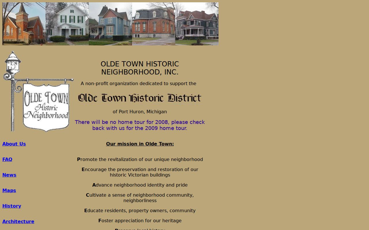
Olde Town Port Huron provides neighborhood-association context and local-history material centered on Victorian buildings, community activity, and historic research. It is useful for understanding a locally used neighborhood identity and for following its research leads. It is not a government custodian, a parcel boundary map, or a roster of the households in an area.
Its historic-address research guide points to directories, newspapers, cemetery and civil indexes, Sanborn maps, and state-archive tax material. Follow those leads back to the named library, archive, or record custodian before relying on a record.
Michigan Voter Records by Block
Michigan voter records are public through FOIA subject to exemptions. Public information can include name, address, and year of birth, while driver-license or state-ID data, month and day of birth, phone, email, the office receiving an application, and refusal-to-register information are protected. Michigan does not use ordinary party registration. This structure is not a substitute for a map or a way to assemble a person-location directory.
MVIC is designed for an individual’s own registration, polling-place, sample-ballot, clerk, and ballot-tracking information. Its name route requires first name, last name, birth month, birth year, and ZIP, so it is not a browseable block list. A broader Qualified Voter File request uses the state form and requires one geography choice, such as city or township, ward or precinct, county, school, or district. The form also controls history, delivery, and format.
For election research, identify the city ward or precinct and the election date first. The city street map, county GIS, and QVF geography choices can use different boundaries. A city-limit line is not the same as a precinct, school district, county-commission district, or delivery ZIP. Retain the election year and district label with any request notes.
Mapping Port Huron Neighbor Parcels
Use a small, repeatable parcel sequence around one address. The goal is to document the immediate block’s land records, not to build a profile of people. The City of Port Huron BS&A portal is a distinct municipal system with assessing, tax, property-sale, building-department, and all-record routes. Compare it with county GIS when a municipal record question remains, and label each result by its custodian.
- Normalize the target street address, then use one county property-search criterion to locate the matching parcel.
- Open that parcel in the GIS viewer and preserve the parcel number, active layer, map date, and exact address used.
- Left-click the immediately surrounding parcels and note only the tax-parcel information the viewer makes available for each lot.
- Use the City BS&A portal for a separate municipal assessment or building question, rather than assuming it mirrors the county result.
- When the question expands beyond the immediate block, use the Port Huron street directory for the broader address-by-street record chain.
Do not treat a map layer as a permanent historical image. The county service has layer metadata and a recorded load date, so save a capture date and source URL with any notes.
Official Sources and Neighbor Tools
Official records are best for knowing the custodian, date, and scope of an observation. Commercial neighbor-lookup tools can offer a convenient presentation, but they may combine data with unclear update dates or source detail. Check a name, address, or property claim against the appropriate official source rather than treating a compiled display as conclusive.
| Category | Useful For | Key Limit |
|---|---|---|
| County or City record | Parcel, municipal, map, or recorded source context with a named custodian | Coverage, update timing, and certification differ by office |
| State voter-file channel | Lawfully limited registration information through the correct state process | Exempt fields and geography controls apply |
| Commercial lookup category | Starting point for a question that still needs verification | May be incomplete, delayed, or unclear about its source and date |
Port Huron Neighbor Privacy Limits
Public availability is not unlimited republication. Ownership records, a parcel map, and a historical directory are not an occupancy census. Some court records are excluded from public display, voter data has specific exemptions, and protected addresses can be shielded. The Michigan Address Confidentiality Program gives qualifying participants a substitute address and mail forwarding. It is not a way to identify or work around a protected address.
Lawful use. Use block records for personal research, civic understanding, or a legitimate records question. Never use them to watch, harass, or intimidate another person.
A missing record may be protected, excluded, out of scope, not yet indexed, or tied to a different jurisdiction. Preserve the agency, search date, record type, and any stated limitation instead of making a negative claim from one search.
Port Huron FOIA Record Requests
Michigan FOIA, MCL 15.231 onward, is a request process for existing nonexempt records, not a way around privacy rules. The City’s fillable form separates Police and Clerk contacts. Police requests go to 100 McMorran, 810-984-9715 ext. 2003, foiapolice@porthuron.org. Clerk requests go to 100 McMorran, 810-984-9725 ext. 0, clerk@porthuron.org. The form accepts a clear record description and email, pickup, fax, or USPS delivery preference.
Give a date range and ask for the segregable nonexempt portion when redactions may be needed. The state’s normal response window is five business days, with one extension of up to ten business days. The City form notes no fee at or below $3 and a possible estimate or deposit when anticipated fees exceed $50. Vital records, protected addresses, voter exemptions, juvenile material, and sealed files retain their own access rules.
Ask for a record series, log, map, permit, or set of minutes that already exists. A precise request such as city records for one parcel and a stated date range is easier to route than a broad request for a new summary or every record about an individual.